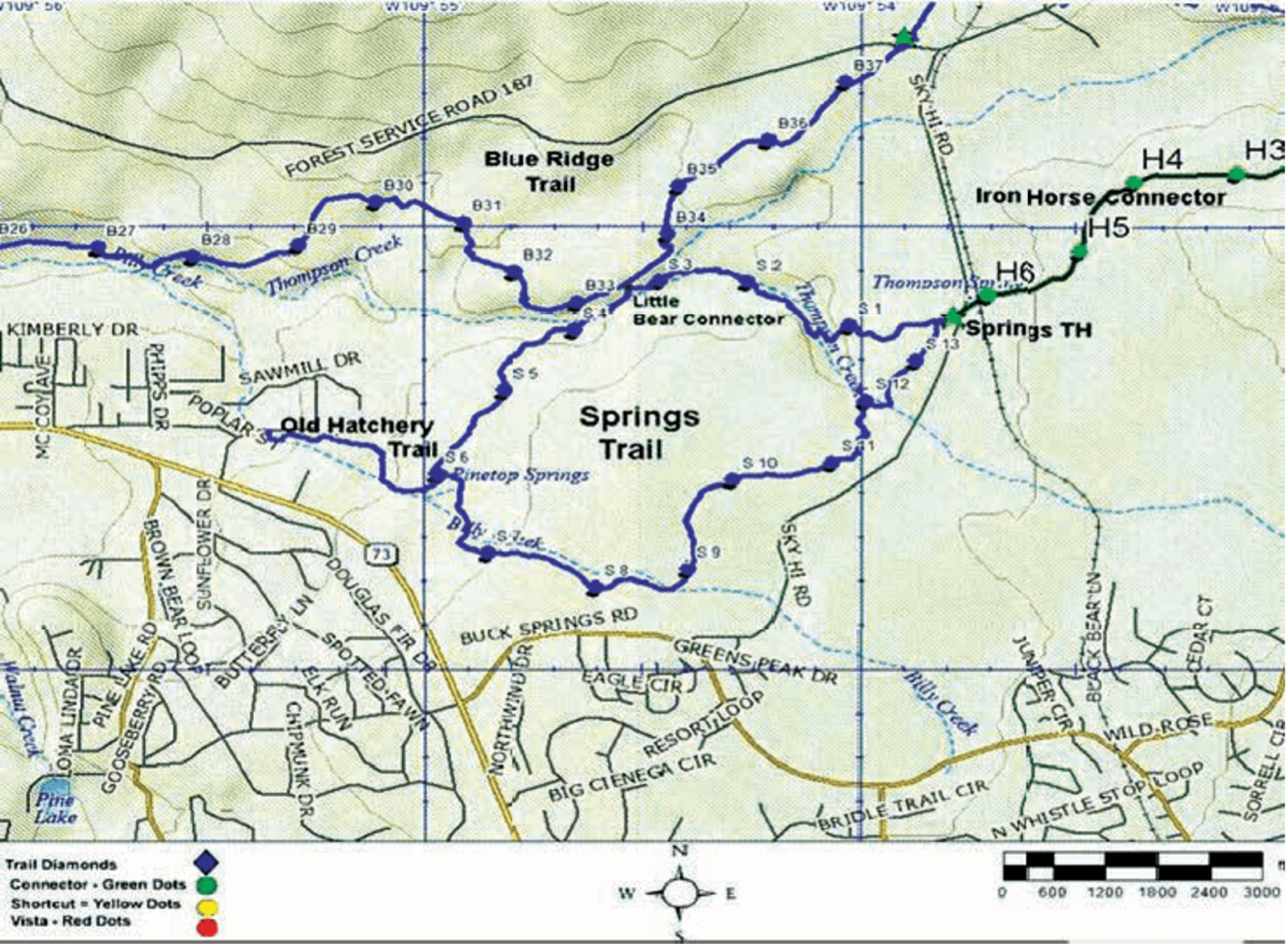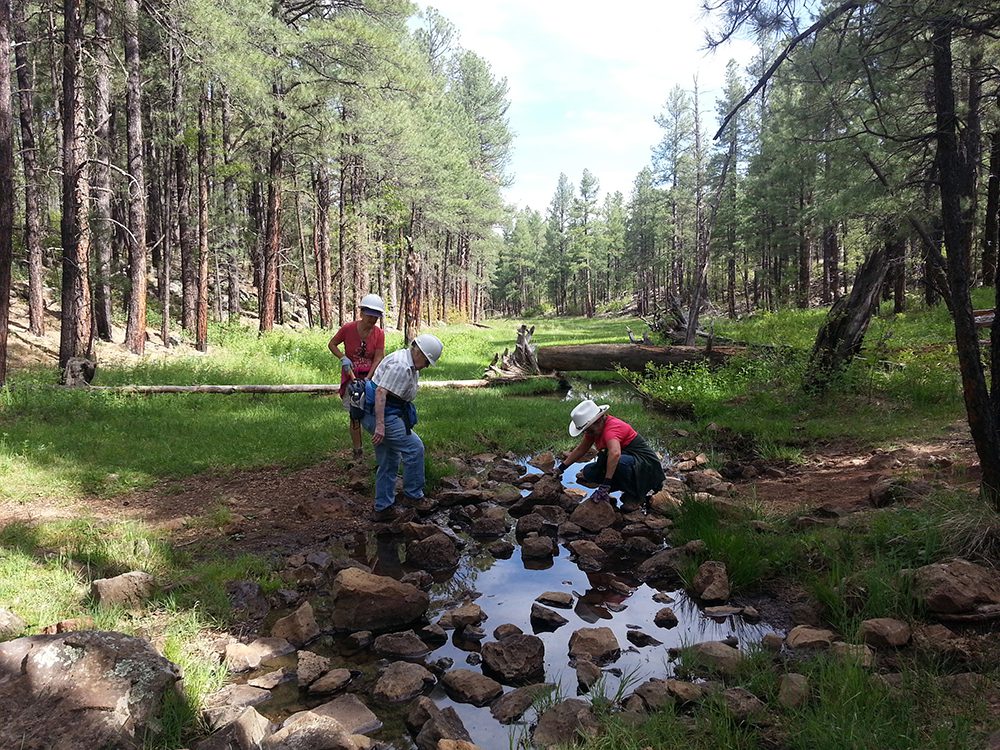
Trail Highlights: The Springs Trail is a cool shaded trip along Billy Creek and Thompson Creek riparian areas. There are beautiful mountain meadows along the trail, but it can be extremely muddy during the spring and monsoon seasons. Take care not to hike, bicycle, or ride horseback on trails and leave tracks when it is muddy.
Springs Trail is linked to Blue Ridge Trail by the very short Little Bear Connector Trail heading north between S3 and S4. Iron Horse Connector Trail starts across the highway from Springs Trailhead and heads east to Country Club Trail.
Iron Horse Connector #632A: The trail is fairly flat but somewhat rocky. The trail crosses the abandoned Apache railroad bed. Watch for traffic as the trail crosses FR 182 near the Springs trailhead. Iron Horse is 1.4 miles long and difficulty is rated easy for all.