Welcome to the White Mountains Trail System!

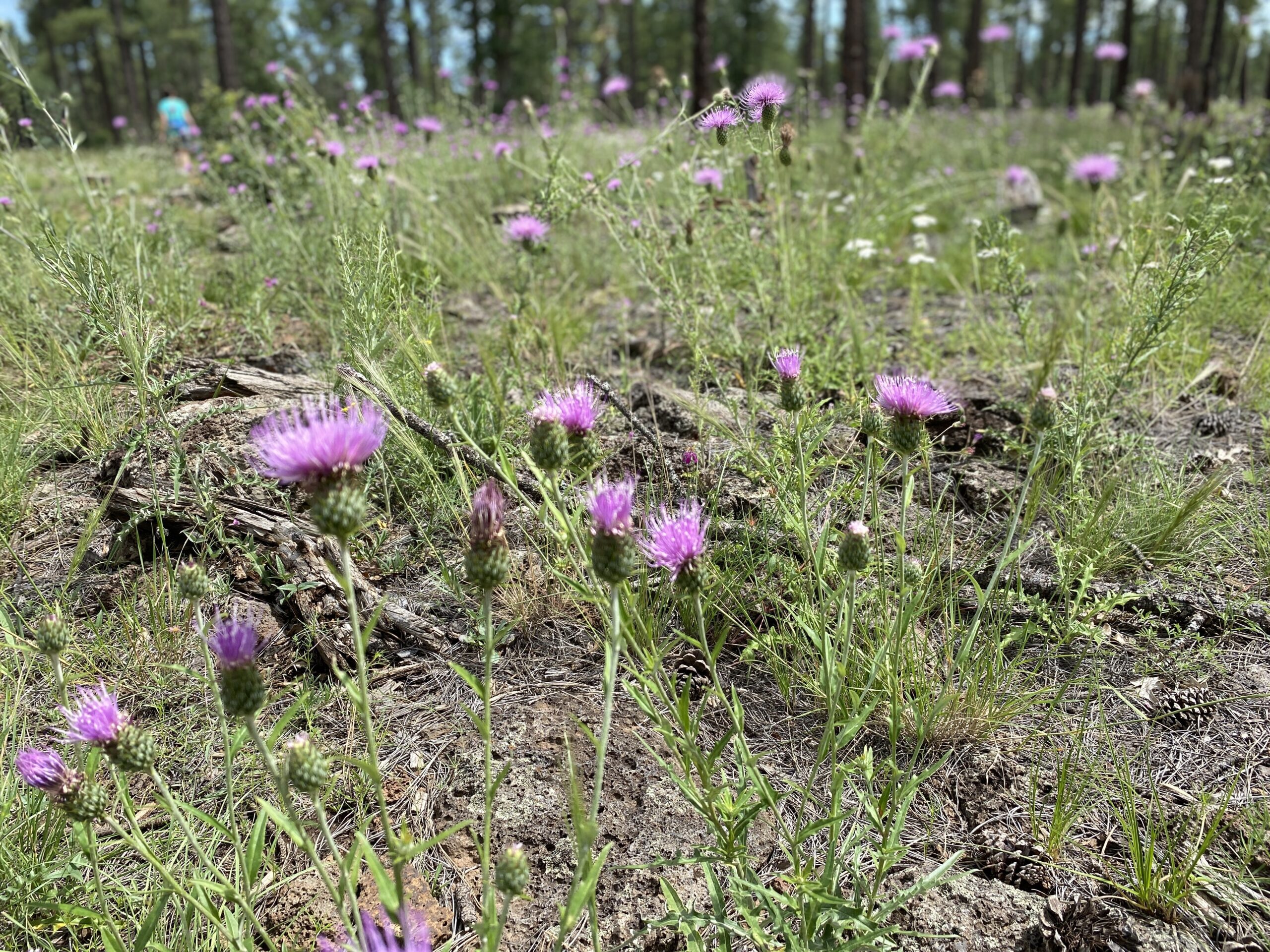
The White Mountain region’s 200+ mile non-motorized system of interconnected trails winds through a vast area of ponderosa pine, spruce, aspen, juniper, and oak forests from about 6,000 to 9,000 feet in elevation.

Here, you may see many species of wildlife, such as elk, deer, antelope, bear, wolf, mountain lions, and turkey. There are also stunning vistas, unique geography, archaeological wonders and outstanding outdoor recreation opportunities. Hikers, mountain bikers, equestrians, trail runners, bird watchers, photographers and cross-country skiers are welcome to enjoy these trails in the beautiful and diverse Apache-Sitgreaves National Forests (ASNF), which is part of the largest ponderosa forest in the world. The eastern part of this trail system has been named one of the top 100 premier trail systems in the State by Arizona State Parks and Trails.

The White Mountains Trail System (WMTS) trailheads are accessible in good weather without four-wheel drive on National Forest System roads. Many trails of- fer loops for varying trail lengths and connectors to link the major trails. Trail system and individual trail maps are available for free at each trailhead and on this website.

Trail etiquette for non-motorized trails is important for the safety and enjoyment of all users. Share the trail: Users of non-motorized trails should be aware of trail etiquette: mountain bikers should give way to other users and hikers should give way to equestrians. When meeting horses, hikers, and mountain bikers should wait quietly on the lower side of the trail so animals are less likely to be spooked. Make sure to “pack out what you pack in,” and not to use the trails when they are muddy, to keep the forests and trails in pristine conditions.

The White Mountains Trail System (WMTS) offers a variety of trail opportunities both in scenic beauty and trail skill levels. It is a series of more than 200 miles of trails built through a partnership between the Lakeside Ranger District and White Mountains TRACKS. The system is designed for non-motorized travel: hiking, mountain bike, and equestrian use. Building new trails and maintaining existing trails is accomplished by White Mountains TRACKS trail crew working April to October. Weather permitting, volunteers meet for approximately two hours’ work, each week.

Distance

Distances are expressed in miles for a complete loop trail. If the trail is not a loop, it is indicated as one way. Shortcuts, which create short/long loops, show the distance from the trailhead and back using a shortcut trail.

Difficulty Ratings

Difficulty ratings are separated by mode of transportation. The US Forest Service takes the follow- ing criteria into account:

  • Length of trail
  • Change in elevation
  • Type of terrain

Trailhead Parking

Trailheads with limited parking are small cinder pads with little to no turning radius for a trailer. Larger trailheads will accommodate several cars and trailers.

Maps

Click here to access GPX file and PDF maps. The trailheads each have a map box with maps as well. The trailhead kiosk also has a map you can photograph and a QR code with access to the website’s trail system map. You can also obtain printed maps from the Lakeside Ranger District and from places with visitor information.

Access to Trail

Forest-maintained roads provide access to trailheads. During the winter and summer rainy seasons, these roads may be impassable or difficult to drive. Contact the Lakeside Ranger District for road conditions.

Mileage figures originate from Show Low Post Office for trails close to Show Low. Mileage figures originate from Lakeside Ranger District for trails closer to Pinetop-Lakeside. GPS coordinates provide the location at the trailhead.

White Diamond Trail Markers

Diamonds with dots: Yellow dots indicate a short route back to the trailhead. Green dots indicate a connector trail to another WMTS loop trail. Red Dots indicate a vista trail.

Coded Trail Diamonds: White diamonds with a location code (letter and number, e.g., LK1, LK2) are located approximately every ¼ mile. In case of an emergency call 911. The location code provides your exact GPS location.

Marking the trail: The trails frequently follow old logging roads and may cross roads open to vehicular traffic. Watch for the trail diamonds to ensure you do not get off the marked trail.

While you’re on the trail, don’t forget trail etiquette. Visitors are reminded to use the trail system safely and follow trail etiquette. Mountain bikes should yield to all users, hikers should yield to horses, and horses always have the right-of-way.

©TAKE A HIKE 2021 — A COMPREHENSIVE WHITE MOUNTAIN TRAILS GUIDE