Trail Highlights: The trail system includes both a paved out and back trail and an unpaved loop trail.
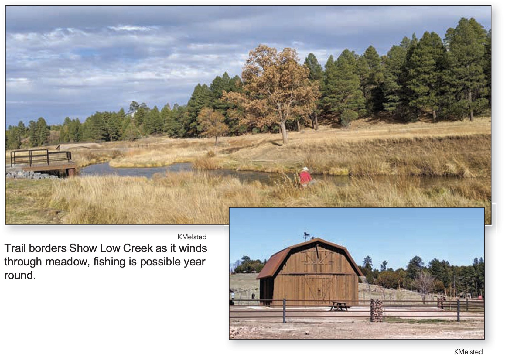
The paved trail is located between Show Low Creek on one side and livestock pastures on the other. Throughout the year visitors may see horses or cattle in the pastures while the creek is stocked with fish year-round. The unpaved loop trail climbs to the top of the bluff through a thick forest of pine, spruce and deciduous trees.
A large, paved parking lot, a heated bathroom with running water and spacious eating area with picnic tables and benches are located in a barn like structure at the trailhead. There is a disc golf course along the bluff and meadow, and handicap accessible fishing platforms provide easy access to some of the deeper fishing holes.
