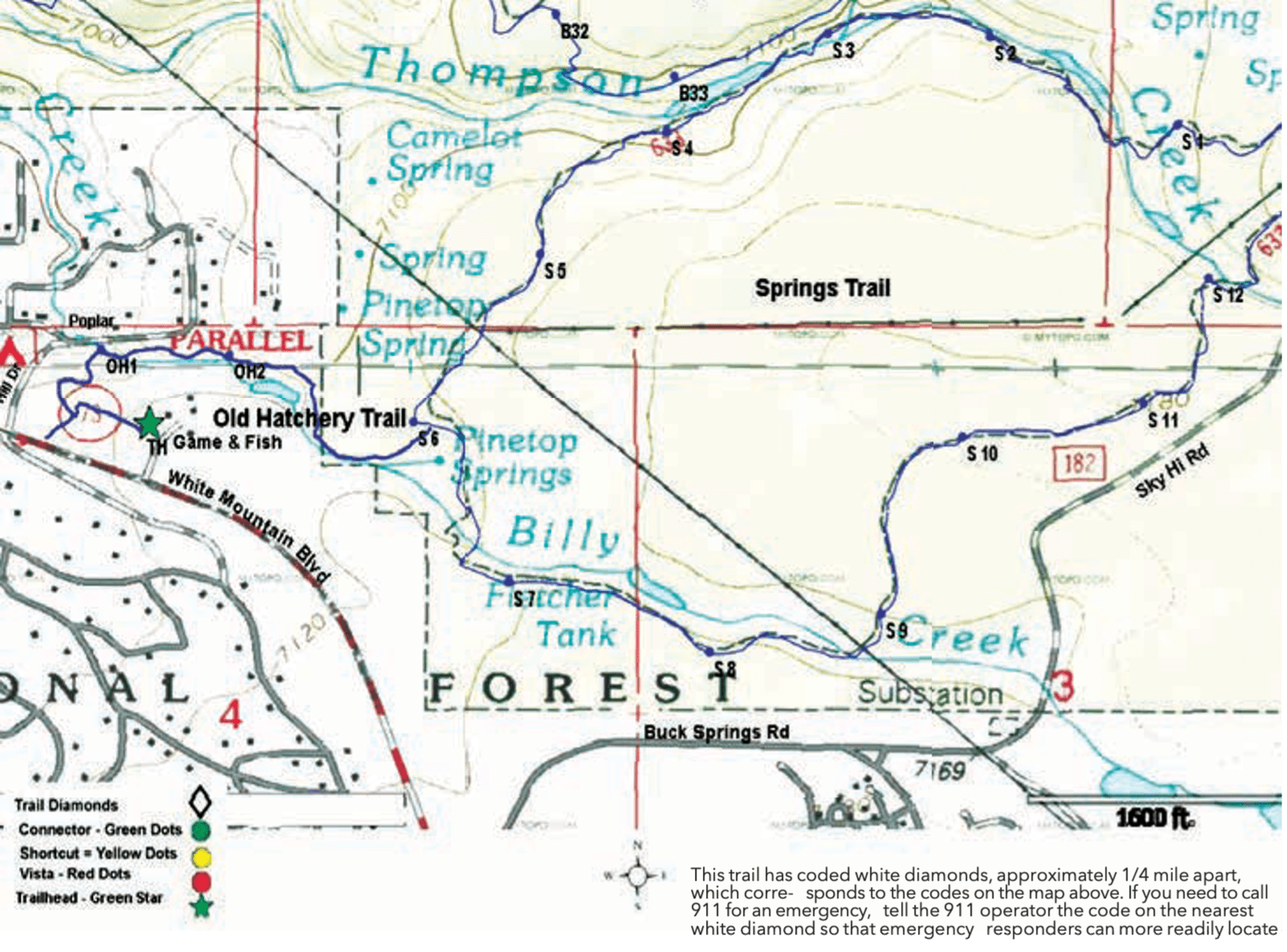
Trail Highlights: The Old Hatchery Trail goes past the old fish hatchery, built in the 1930s, which was, at one time, the major trout hatchery in Arizona until a dry period in 1954 forced the closure of the hatchery.
At the trailhead, there are various signs describing the history of the hatchery, plants, and animals that inhabit the wetlands, and an observation deck overlooks a ponds and wetlands project that demonstrates how to build a backyard pond and conserve rare species.
Just before descending to Billy Creek, there is a short side trail that leads to a gate near Highway 260. The portion of the trail from Game and Fish, to this point is open to hikers only.
There is a bridge crossing Billy Creek before the trail sharply ascends. It travels along Billy Creek where you will notice several flood control walls that are now obsolete. Milkweed, the only host plant for the Monarch butterfly, is found along this trail. Monarch butterflies may be found on the flowers and caterpillars graze on the leaves.
The trail passes through two gates before connecting to the Springs Trail #633.