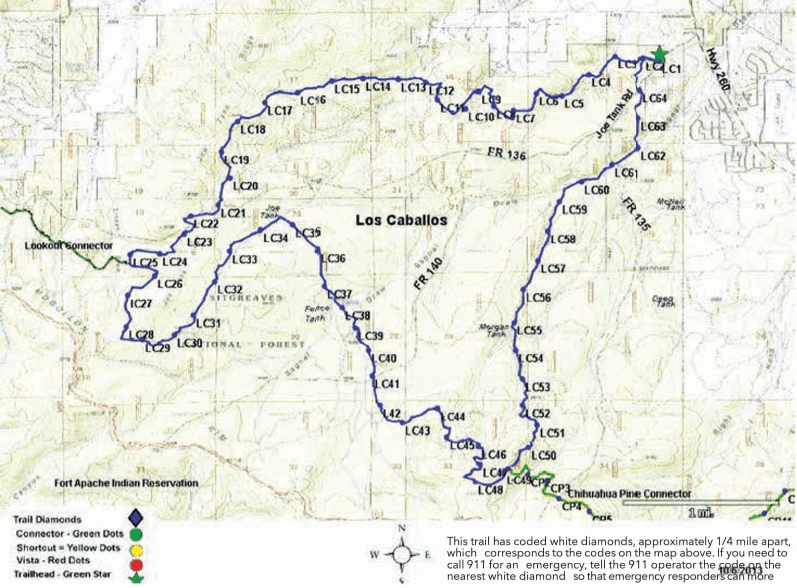
Trail Highlights: Los Caballos is one of the longest trails in the White Mountain Trail System with a majority of the trail following old logging roads. The trail travels through the burned and non-burned forest as it winds along Joe Tank Ridge before dropping down into the beautiful old-growth forest of Bagnal Draw. The convenient location, ease of access, and beauty of this previously mostly non-motorized trail have made it a popular site for many. A variety of wildlife can be seen from the trail including elk, deer, and, yes, herds of wild horses. Los Caballos Trail is connected to other WMTS trails by two connector trails: Chihuahua Pine Connector and Lookout Connector.
Lookout Connector: Named for the Juniper Ridge Lookout Tower, the Lookout Connector trail links the Los Caballos Trail to the Juniper Ridge trail at the Lookout Tower site. Since most of the trail lays in an area burned during the Rodeo-Chediski Fire of 2002, it has little shade and can be hot and dry in the summer. Thus, it is more popular in the fall and spring, which offers unobstructed views of the surrounding countryside and the beautiful White Mountains in the east. It is 4.5 miles long and rated as difficult for all types.
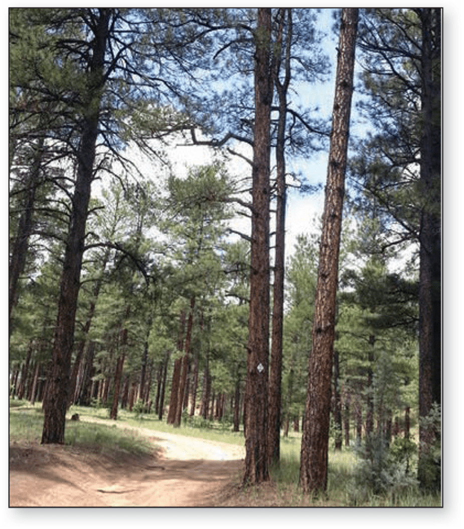
Chihuahua Pine Connector: The Chihuahua Pine Connector links Los Caballos Trail to Buena Vista Trail. Chihuahua Pine Connector winds through ponderosa and piñon pine and juniper forests with an occasional Chihuahua pine tree. It travels under US Hwy 60/77 before connecting to the Buena Vista Trail.
The Chihuahua pine is an unusual species of conifer that is well-adapted to fire ecosystems. This is the only pine in the western United States that can sprout if it is cut down. It also retains its egg-sized cones for several years allowing for quick reseeding of an area in case of fire. Look for these special conifers, especially on the knoll in the 1/4 mile between trail markers CP11 and CP12. Chihuahua pines have shorter needles than ponderosa pines.
The connector has many short, steep climbs, and the rock terrain makes mountain biking technical. The trail is 4.2 miles long and is rated difficult for all uses.