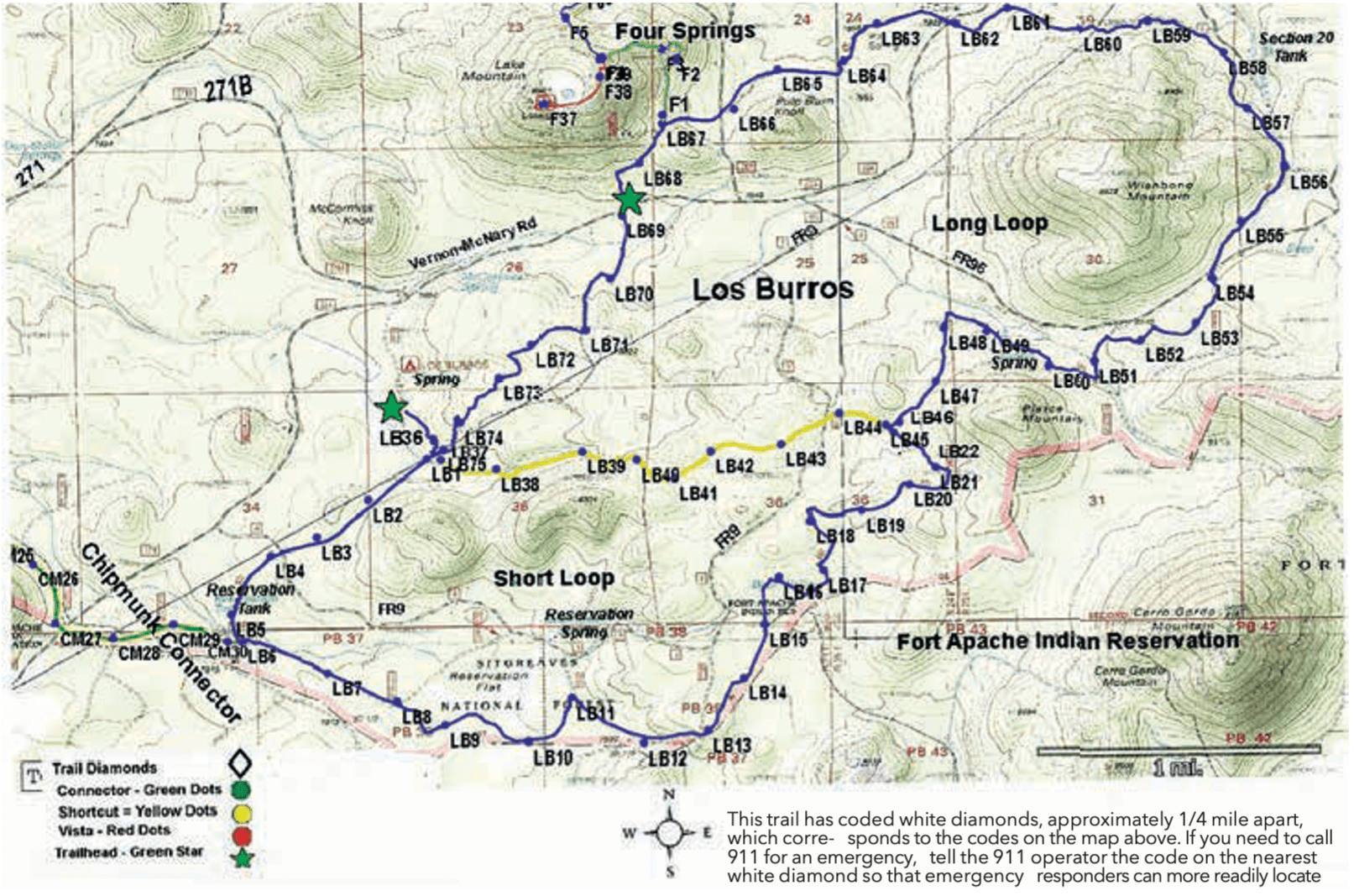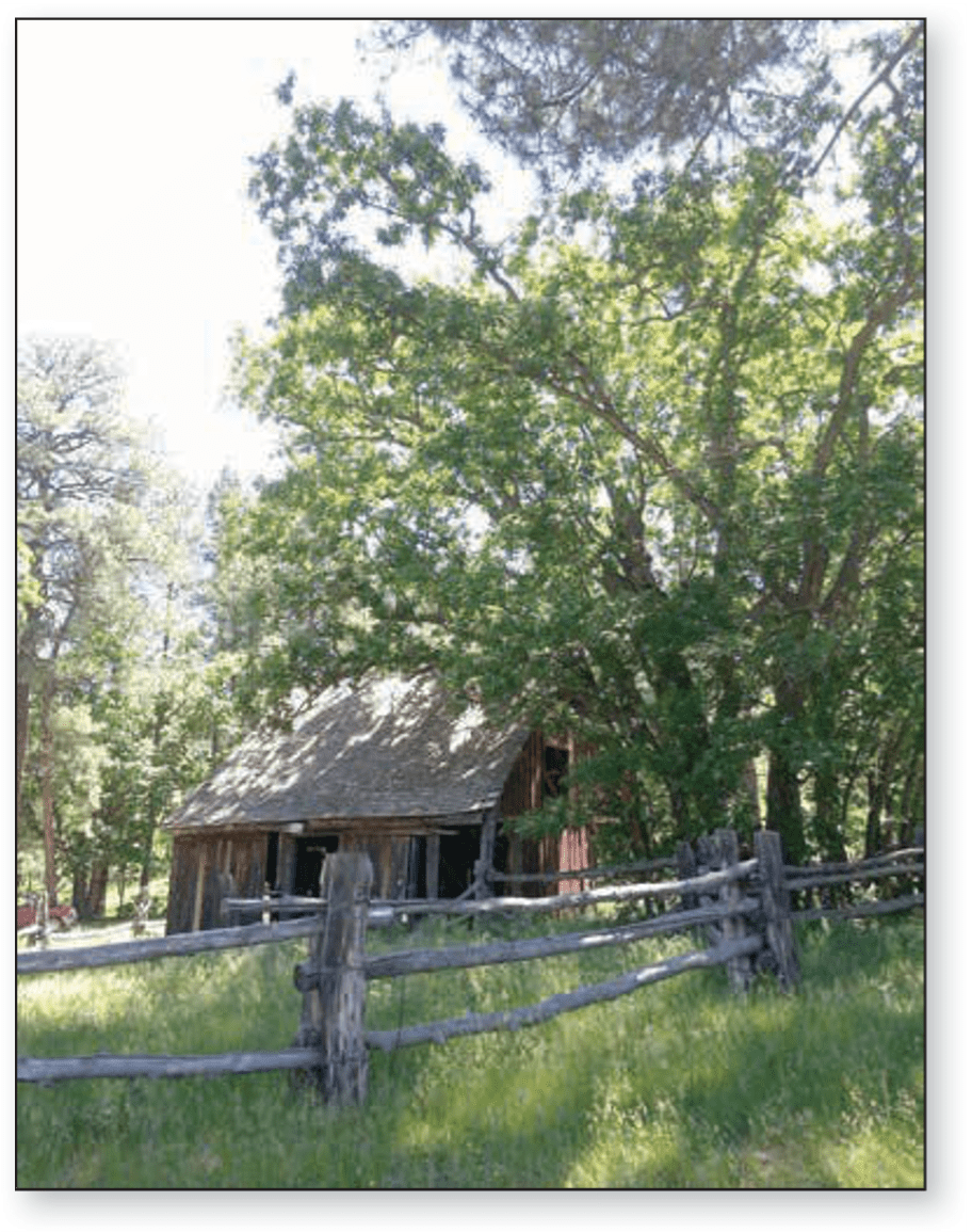
Trail Highlights: The campground was once the site of the Los Burros Ranger Station built between 1909 – 1910. Two of the original buildings still exist.
The trail passes through spruce, fir, aspen, and oak trees. It is a good trail to view aspen colors in the fall. Depending on the time of year and location on the trail, expect to see ferns and a wide variety of colorful wildflowers.
The trail offers opportunities to view elk, mule deer, turkey, and coyotes. Also, watch for cattle, since it is open-range country.
Los Burros is a favorite for many mountain bikers and it is reported riding the looped trail counterclockwise is more favorable as you can experience more downhill speed.
Los Burros Trail is connected to the rest of the WMTS trails by two connector trails: Chipmunk Connector and Four Springs Connector. These inner-connected trails are part of an annual mountain bike race for riders competing in the 35- and 50-mile Tour of the White Mountains.
Four Springs Trail Connector: Four Springs Connector Trail is a .7-mile trail that connects to the Four Springs Trail and continues on to the Land of the Pioneers.
The trail winds between Four Springs and Hidden Lake, located between F22 – F23. Dipping Vat Spring is the site of a historic sheep camp; remnants of the dipping vat can be seen in the meadow, north of the tank near F28.
Portions of the trail are extremely steep. Together the Four Springs Trail and Four Springs Connector Trail are 8.3 miles long and are rated difficult for all.
Chipmunk Connector: The Chipmunk connects the Los Burros Trail to the Country Club Trail. Starting at an elevation of 7,813 ft., it continues downward through ponderosa pine forests to the Country Club Trail at 7,200 ft. elevation. The Chipmunk Connector trail is 7.5 miles long, rated as moderate for all.