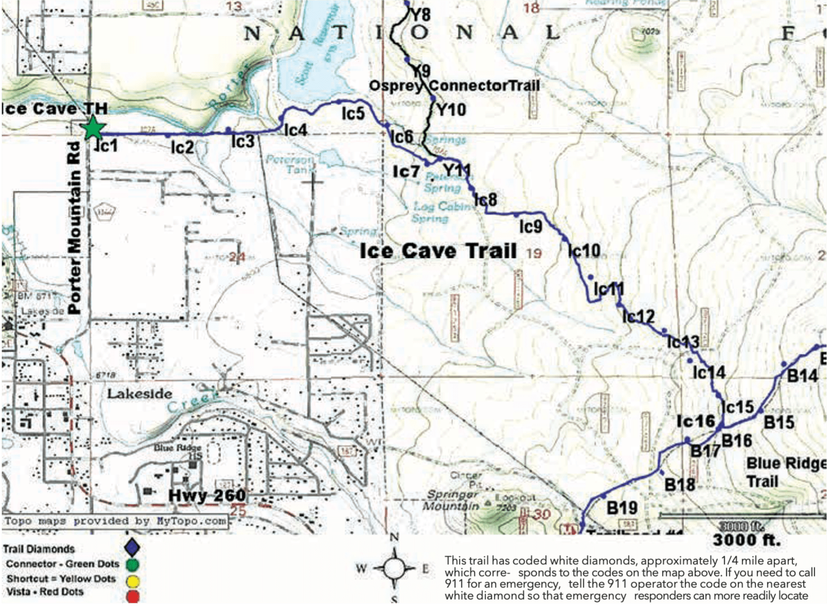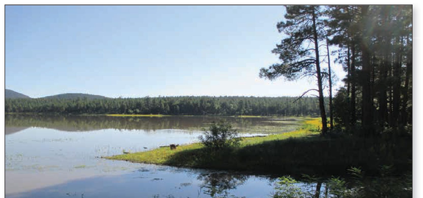
Trail Highlights: This is a popular trail, especially with equestrians. There are riding stables adjacent to the trail. About ¼ mile in there is a water crossing, and then the trail winds along the edge of a meadow and Porter Creek. One beautiful stretch runs along the south side of Scott Reservoir.
The Ice Cave is located beyond the reservoir about 2.5 miles from the trailhead. The trail continues on to connect with the Blue Ridge Trail at B16. The name “Ice Cave” probably came from the constant flow of cool air coming from the cave. The Ice Cave Trail is connected to Timber Mesa Trail by Osprey Connector.
Osprey Connector #636C: Osprey Connector includes views of lovely meadows, Scotts Reservoir, and a water crossing. It connects Timber Mesa Trail to Ice Caves Trail and to the system of interconnected trails, which lead ultimately to the Land of the Pioneers. This connection allows trail users to take significantly longer hikes or horseback/mountain bike rides.
Note: The Osprey Connector includes a water crossing and users are cautioned not to cross when the water level is high. The trail is 2.5 miles long and difficulty is rated moderate for hiking, mountain biking, and equestrian.