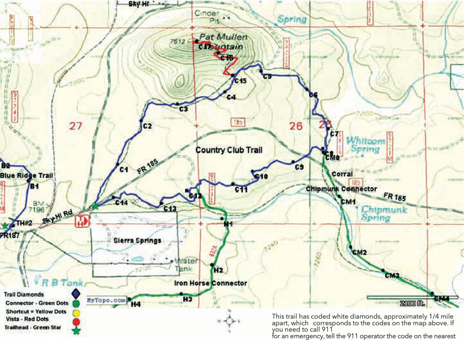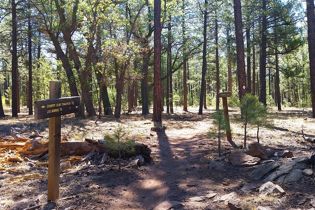
Trail Highlights: The Country Club trail is one of the most popular in the White Mountains Trail System and hosts a lot of hikers, equestrians, and mountain bikers. It is close to Pinetop, easy to access, and has gently sloping rises and downhills with a ½ mile uphill extension (affectionately called “huff and puff”) to a view of Pat Mullen Mountain.
There are a few beautiful, old, gnarled alligator juniper trees and a geocache to make the extension a unique adventure. Thinning of trees has been done as part of the effort to mitigate the threat of catastrophic wildfires, so there are many areas of beautiful old trees and some wide views of surrounding hills and mountains.
Cross-country skiing is possible when there is sufficient snow in winter.
County Club is part of a system of trails since it is joined to the Springs Trail by Iron Horse Connector and to Los Burros Trail by the Chipmunk Connector.
Iron Horse Connector #632A: The trail is fairly flat but somewhat rocky. The trail crosses the abandoned Apache railroad bed. Watch for traffic as the trail crosses FR 182 near the Springs Trailhead. Iron Horse is 1.4 miles long and rated easy for all.
Chipmunk Connector #631A: Chipmunk connects to the Los Burros Trail just east of Vernon-McNary Rd. Starting at an elevation of 7,200 ft. it continues upward through ponderosa pine forests to the Los Burros Trail at 7,813 ft. elevation. The Chipmunk Connector trail is 7.5 miles long and rated as moderate for all.