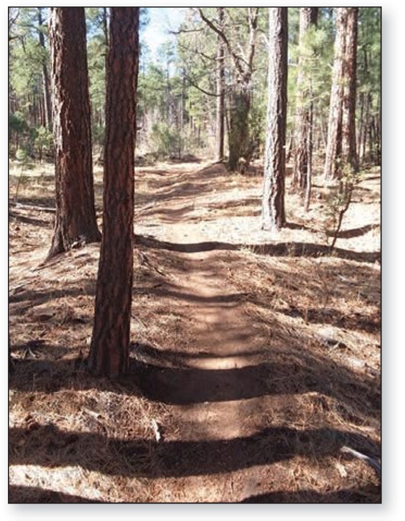
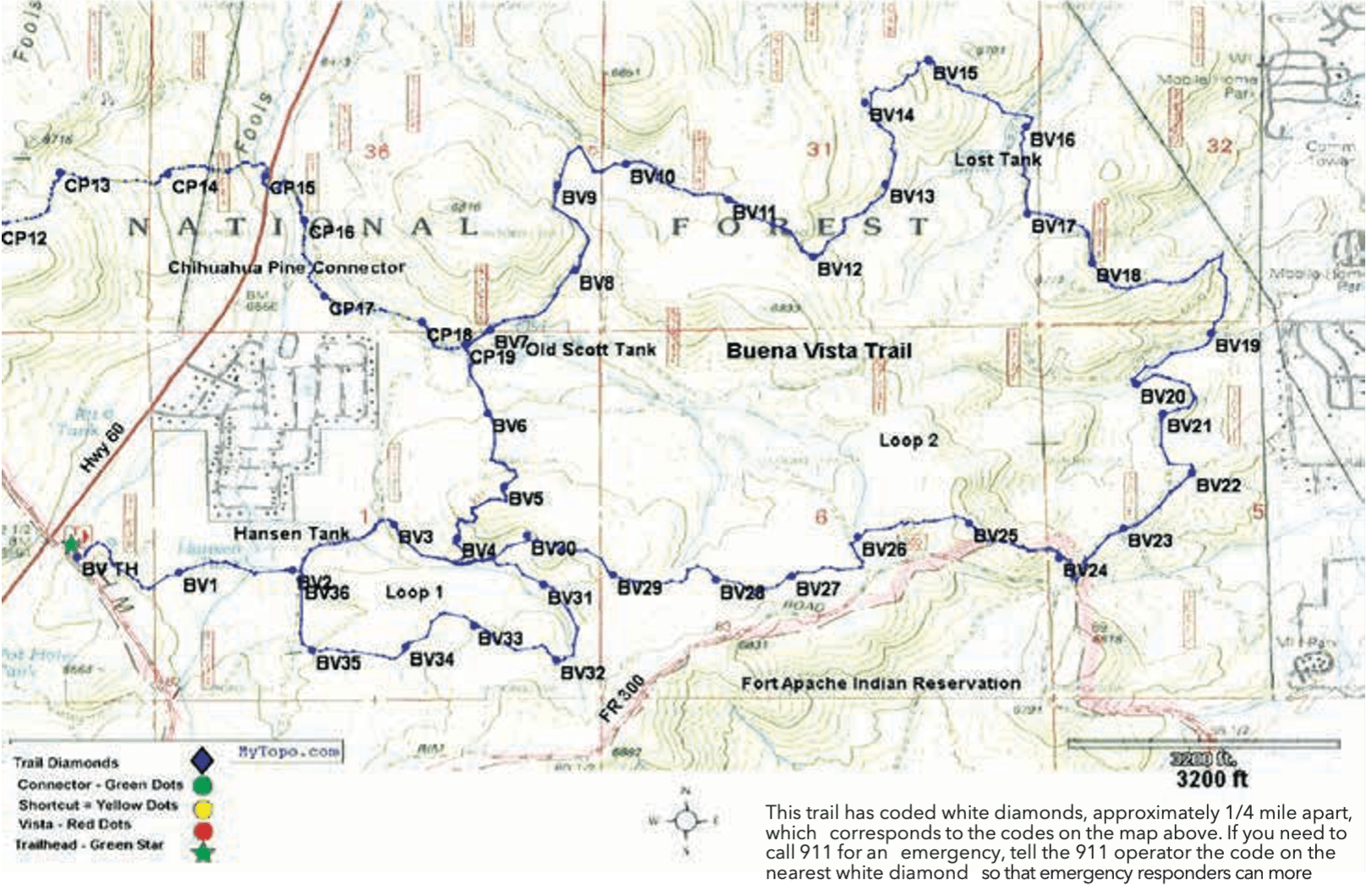
Trail Highlights: This is the closest trail to Show Low. It follows portions of old logging roads through oak, manzanita, and pine. There are impressive panoramic vistas near BV 15, 18, and 25, with views on a clear day of Mt. Baldy to the southeast and the San Francisco Peaks to the northwest. The trail is notably hilly, with seven major uphill sections. As one of the lower elevation trails of the White Mountain Trail System, it is warmer in winter but may get uncomfortably warm at midday in summer. Note: there are many miles of unauthorized single-track bike trails and roads interlaced with the BV Trail. Watch for the trail diamonds!
Buena Vista Trail #637
Trail details
Distance: 9.7 miles, short loop 2.5 miles
Difficulty: Hiking — Moderate Mountain Biking — Difficult Equestrian — Moderate
Trailhead Parking: Yes, accommodates trailers
Trail Highlights: From the Show Low Post Office, travel south on AZ 60/77 for 4.5 miles. Turn left on FR 300 and the trailhead is on the left.
Trailhead GPS: N34°20’365” W110°07’942”
©TAKE A HIKE 2021 — A COMPREHENSIVE WHITE MOUNTAIN TRAILS GUIDE